Garmin Navionics+ NSAW015R - Indian Subcontinent - Marine Chart
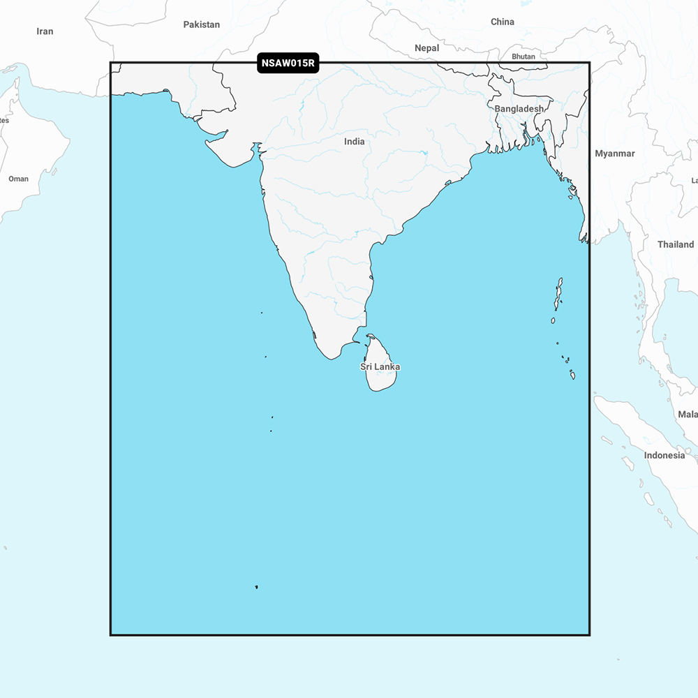
Navionics+ NSAW015R - Indian Subcontinent - Marine Chart
Get the world’s No. 1 choice in the marine mapping with the best, most up-to-date Navionics®+ cartography on your compatible chartplotter.
Featuring vibrant colors, a streamlined interface and combined coastal/inland content with a popular Navionics® style color palette, Garmin Navionics+ cartography makes it easy to plot your course. Multiple shading options aid in shallow water navigation and make it easy to highlight a target depth range for the best fishing spots. Fully customizable with various chart layers, overlay combinations and up to 10 color-shaded target depth ranges to scope out the best fishing spots.
When you purchase a new Garmin Navionics+ or Garmin Navionics Vision+ cartography product, a one-year subscription is included.
Chart Code - NSAW015R
Coverage Area:
Coastal coverage of the Indian subcontinent from Pasni, Pakistan to Sittwe, Myanmar including Sri Lanka, the Andaman and Nicobar Islands, the Chagos Archipelago and the Maldives. Coverage includes ports such as Karachi, Pakistan; Calcutta and Mumbai, India and the Male Atoll.
Features:
- All-in-one Map Solution - Access detail-rich mapping of coastal features, lakes, rivers and more. Integrated Garmin and Navionics® content offers coverage for boaters worldwide.
- Daily Chart Updates - Charts are constantly being enhanced with new and amended content — as many as 5,000 updates are made every day. The one-year included subscription gives you access to daily chart updates via the ActiveCaptain app.
- Auto Guidance+ Technology - Combining the best of Garmin and Navionics automatic routing features, built-in Auto Guidance+ technology1 gives you a suggested dock-to-dock path to follow through channels, inlets, marina entrances and more.
- Depth Range Shading - High-resolution depth range shading lets you select up to 10 color-shaded options and view your designated target depths at a glance.
- Up to 1' Contours - For improved fishing and navigation, up to 1' contours provide a clear depiction of bottom structure for improved fishing charts and enhanced detail in swamps, canals, harbors, marinas and more.
- Shallow Water Shading - To give a clear picture of shallow waters to avoid, this feature allows for shading at a user-defined depth.
- ActiveCaptain Community - Community-sourced content provides useful POIs, such as marinas, anchorages, hazards, businesses and more. Get recommendations from boaters with firsthand experience of the local environment.
Compatibility:
- Check the compatibility of Garmin Navionics+ content and features with your GPS chartplotter.
Technical Specifications:
- Format - MicroSD/SD Card
In the Box:
- SD/MSD Card
1Auto Guidance+ is for planning purposes only and does not replace safe navigation operations
*Sold as an Individual
Free FTP System
FTP with CWR is easy, thorough, and detailed, no matter what kind of data you are transferring. Best of all, it’s free. No tedious data entry is needed when you're integrating your own business with our websites and databases
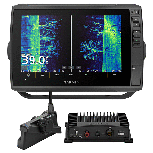
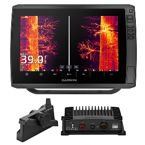
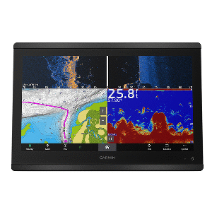
Top Selling Garmin Products
Easy and Convenient Drop-Shipping
CWR’s drop-shipping system has been crafted to meet your business needs. We understand that maintaining a competitive business means having access to shipping that is quick, convenient and affordable. Even at a moment’s notice, we are ready.
Become a CWR dealer and get:
- Wholesale pricing from over 300 brands
- No minimum order
- Flat rate shipping as low as $9.95
- Free FTP and website integration
BECOME A DEALER